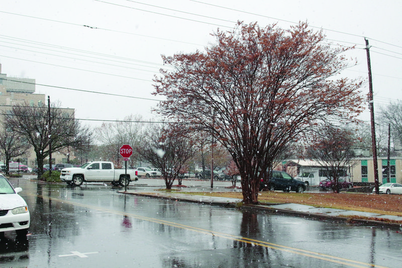
Snowfall in El Dorado yesterday afternoon drew El Dorado residents to yards and street corners to take photos and revel in the short-lived winter wonderland.
But, warned meteorological technician Lisa May at the Shreveport National Weather Service, those who will be outdoors this week should be careful to prepare for the weather.
"If you're going to outdoor events, check your forecast and dress accordingly," she said. "Check your plants and your pets; make sure that you're taking care of elderly neighbors. People that might be out in the cold just need to take extra precautions."
While yesterday's temperatures were the coldest the city will feel this week, the weather across south Arkansas is finally feeling appropriate for the season, with temperatures expected to stay low through the weekend.
El Dorado isn't the only city that felt cold yesterday — Junction City, Calion, Norphlet and Smackover all had snow as well, according to the Shreveport NWS. City officials in several of the cities could not be reached, but May said before the snowfall that precipitation was forecast through the entire south Arkansas region. She said residents should be careful today, because there is potential for elevated surfaces like bridges to have frozen overnight.
"With a low around 27 [degrees Fahrenheit], we couldn't rule out; if there's some standing water on bridges or roadways, we certainly couldn't rule that [freezing)] out, but the ground is still warm enough that it shouldn't freeze outside of elevated surfaces," May said.
Last night, temperatures dropped below freezing, hitting a low of about 27 degrees Fahrenheit. May said yesterday's weather was caused by northeastern winds and storms traveling south.
"Colder air that's coming in from up north — a trough [low atmospheric pressure across a broad region] brings it down and brings that colder air down towards us," May said. "It's shifting into our area, bringing us the rain and colder temperatures."
May said it is unusual for the temperature to bounce back and forth between high and low temperatures at this time of year, as Union County has seen since the first cold front of the season hit in October. The temperatures we will see this week are more typical, she said.
"We've been running pretty warm in the mid-70s and upper-70s, that's a little warm for December," May said. "The normals for this time of the year in El Dorado is a high near 57 [degrees Fahrenheit] and a low near 36 [degrees Fahrenheit], that's what averages out to be normal for you guys."
Temperatures are expected to hit highs in the mid- to upper-50s through Sunday, with lows in the mid-30s in the evenings and at night. While there is no precipitation forecast, wind chill will be a factor, and it may feel colder than the thermometer would leave one to believe.
"It's going to be a colder wind. They're going to be coming from the northeast and the north, so its going to feel a little colder than what we've been having," May said. "But it looks like wind is going to be light over the next few days anyway."
For those traveling during these cold winter months, May said it will be important to set aside extra travel time if there is precipitation. She said travelers should also stay prepared by packing emergency kits, blankets and road flares.
"Check the forecast for your destination and in between, and if it looks like its going to be treacherous winter travel, allow for extra time, make sure you have items in your car to help you if you are stranded," she said. "Just be aware of what you may be driving into and be prepared for it."
Caitlan Butler can be reached at 870-862-6611 or [email protected].